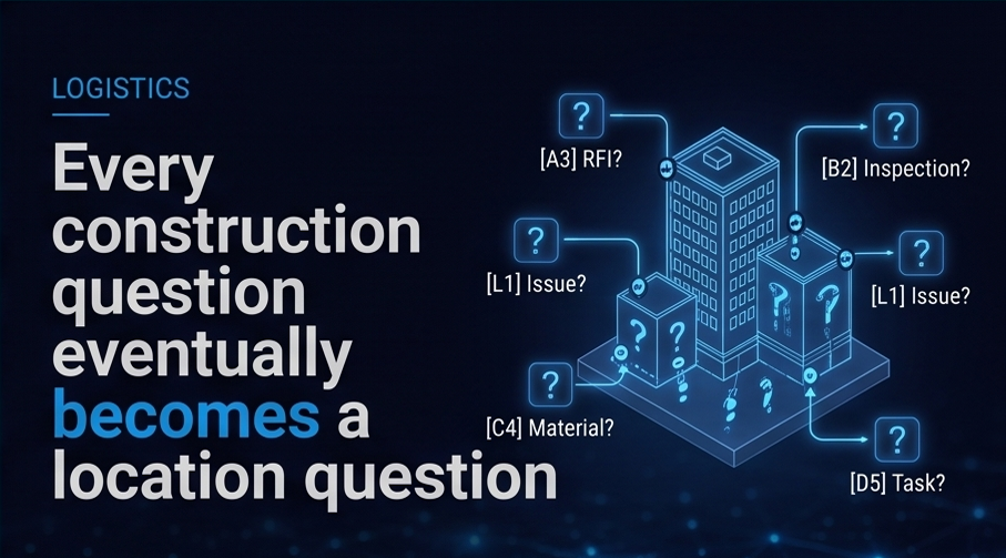
Construction projects do not suffer from a shortage of location information. Locations appear everywhere: drawing titles, room tags, model properties, schedule activities, inspection requests, daily reports, punch items, photographs, progress updates, cost codes, commissioning records, and closeout packages. The problem is that these systems rarely describe location in the same way.
BIM may organize a building around levels and rooms. The schedule may use areas and sequence zones. Quality teams may plan inspections by floor and trade. The owner's operational team may think in departments, suites, or functional spaces. Field personnel may use grids, cores, shafts, or familiar jobsite nicknames. Each view serves a purpose, but the project needs a reliable way to connect them.
Blade's LBS provides that connective structure. It gives the project an authoritative Primary LBS for containment: a clean hierarchy in which each location has one parent and a complete path. A node can represent a building, level, wing, zone, room, corridor, core, bay, or other controlled spatial type. Records can be assigned at the level of detail appropriate to the work and then rolled up for broader reporting.
This creates consistency without demanding uniformity. The client can rename visible tier labels and configure the structure around the project. A campus, hospital, airport, data center, high-rise, industrial facility, or residential development does not need to be forced into a generic room list. Blade preserves a stable integration layer beneath the client's chosen language, allowing the project to remain recognizable to its users while still behaving consistently as data.
That distinction is important when systems are integrated. A label can change from Floor to Level without breaking the stable key used by APIs. A detailed room can inherit the identity of its level. A full location code and full path can be computed through the parent chain, helping systems exchange information without relying on a user to retype or interpret names. Thousands of location nodes can be created while the governing tier configuration remains controlled.
The LBS can be brought into the project through structured configuration and spreadsheet import, and it creates a foundation for mapping model locations such as Revit levels and rooms. Over time, model element IDs, IFC GUIDs, coordinates, elevations, boundaries, and version information can strengthen the connection between the governed location record and its geometric representation.
The schedule benefits from the same structure. Activities can be related to the locations where work will occur, allowing teams to examine readiness, progress, inspections, issues, and constraints in spatial terms. Instead of asking only whether an activity is late, the team can see which areas are affected and what other records exist in those locations.
Field workflows become easier to coordinate as well. When an observation, inspection, RFI, or form uses the same location tree, users are not forced to learn a new spatial vocabulary for every tool. Search and filtering become consistent. Assignments contain a complete path. Reports can compare information across modules because 'Level 03 / East Wing / Electrical Room 312' means the same place everywhere.
This alignment also reduces reconciliation work. Teams spend less time mapping room names between spreadsheets, correcting inconsistent assignments, or rebuilding reports around local naming conventions. Integrations can consume one governed location service instead of creating separate crosswalks for every module. Changes can be managed centrally rather than corrected record by record.
The project's other structures remain important. A Systems Breakdown Structure describes what system or component is involved. A Work Breakdown Structure describes what work must be completed. The LBS describes where the work and systems exist. Blade can connect these perspectives rather than forcing one structure to perform every job.
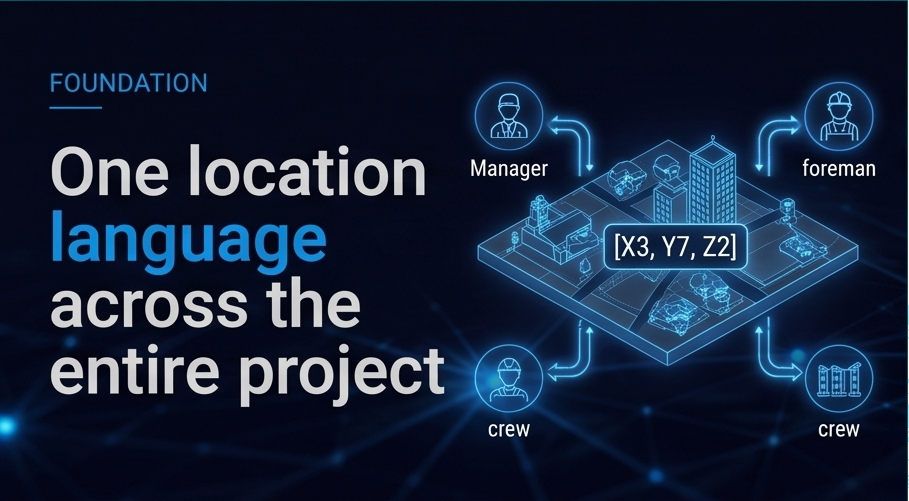
For clients, that connection produces a more coherent project record. The drawing, model, schedule, field form, inspection, and issue no longer refer to similar-sounding places that people must reconcile manually. They participate in one location language that supports the client's operations and remains dependable for technology.
A project may use many systems, but it should not have many conflicting definitions of where the work is happening.